Our Services
Comprehensive Aerial Solutions
Photography & Videography
Cinematic 4K/6K aerial footage and high-resolution stills for real estate, marketing, and events. Stabilization and professional framing guaranteed. View Gallery
Advanced Mapping
We utilize RTK/PPK enabled drones to produce survey-grade maps and 3D models. Ideal for topography, construction progress tracking, and land usage analysis.
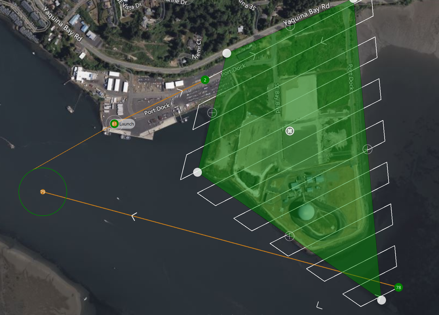
Aerial Photogrammetry
Turning aerial images into precise 2D maps and 3D models. We specialize in creating high-resolution orthomosaics and digital elevation models.
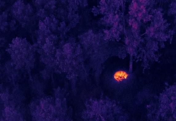
Locating Services
Using thermal and high-zoom optics to assist in locating livestock, assets, or effectively supporting search and recovery operations in difficult terrain.